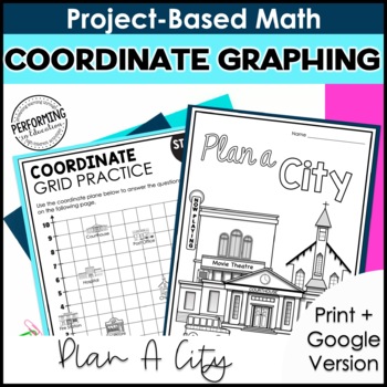
This 5-day project-based math resource applies math concepts in a real-world scenario to teach students about coordinate graphing. In this 5-day unit, students will use coordinate graphing skills, such as graphing ordered pairs, to plan a city. This math project is engaging and authentic. Plus, it’s available as both a digital and print resource.
This project-based math resource covers concepts of coordinate graphing and is aligned with the following 5th Grade Math Common Core State Standards:
- Use a pair of perpendicular number lines, called axes, to define a coordinate system, with the intersection of the lines (the origin) arranged to coincide with the 0 on each line and a given point in the plane located by using an ordered pair of numbers, called its coordinates.
- Understand that the first number indicates how far to travel from the origin in the direction of one axis, and the second number indicates how far to travel in the direction of the second axis, with the convention that the names of the two axes and the coordinates correspond (e.g., x-axis and x-coordinate, y-axis and y-coordinate).
- Represent real world and mathematical problems by graphing points in the first quadrant of the coordinate plane, and interpret coordinate values of points in the context of the situation.
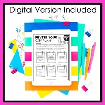
This resource is available in both Printable & Digital Google Slides versions.
What’s included in this resource:
- Background Knowledge: Using a circle map, students will build background knowledge about the essential needs of a community.
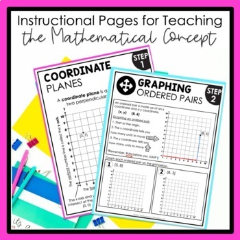
- Coordinate Graphing Concepts: Using the included instructional pages, students will learn about coordinate planes and graphing ordered pairs.
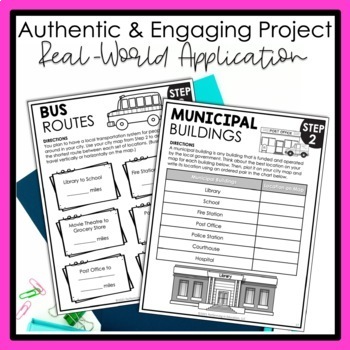
- Plan Your City: Using coordinate graphing concepts, students will plot out municipal and commercial buildings to create a preliminary city map.
- Measure Distances: Using the included instructional pages, students will learn how to measure distances between ordered pairs on a coordinate grid.
- Bus Routes: Using coordinate graphing concepts, students will calculate the distance between locations in their city.
- Revise Your City Plan: Using tips from a city planner, students will revise their city map to account for recommended distances between locations.
- Map Final Details: Using coordinate graphing concepts, students will scout possible locations for a city park and their own home.
- Finalize Locations: Using ordered pairs, students will finalize each location on the city map.
- Wrap Up: Students will write up their final city plan and explain their decisions.
***************************************************************************


Reviews
There are no reviews yet.